-
-
List of Articles
-
Open Access Article
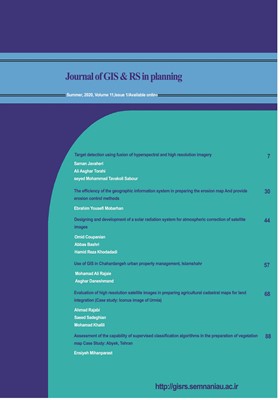
1 - target detection using fusion of hyperspectral and high resolution imagery
saman javaheri Ali asghar torahi seyed mohammad tavakoli sabour -
Open Access Article
2 - The efficiency of the geographic information system in preparing the erosion map And provide erosion control methods
Ebrahim Yousefi Mobarhan -
Open Access Article
3 - Designing and development of a solar radiation system for atmospheric correction of satellite images
حسن حسنی مقدم Omid Coupanian Abbas Bashri Hamid Reza Khodadadi -
Open Access Article
4 - Use of GIS in Chahardangeh urban property management, Islamshahr
mohamad ali rajaie asghar. daneshmand -
Open Access Article
5 - Evaluation of high resolution satellite images in preparing agricultural cadastral maps for land integration (Case study: Iconus image of Urmia)
Ahmad Rajabi saeed sadeghian mohamad khalili -
Open Access Article
6 - Assessment of the capability of supervised classification algorithms in the preparation of vegetation map Case Study: Abyek, Tehran
ensiyeh mihanparast
-
The rights to this website are owned by the Raimag Press Management System.
Copyright © 2021-2025


