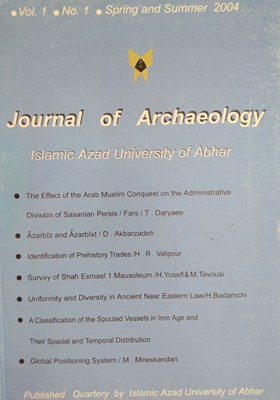
Global Positioning System
Subject Areas : Interdisciplinary studies
1 - Cultural Heritage Organization, Tehran, Iran.
Keywords: Geography, Map, global positioning system,
Abstract :
In order to get accurate , exact geographical data by the use of GPS it is just needed to inspect the expenses of what have been done and to correct it’s failures . This technology ascertains minute positioning as small as a pin point in different weather conditions ,any time during the days and nights so accurately . It is also used to collect and get a great geographical data . GPS is usually used for collecting reliable positioning data in the deserts . It is used with GIS technology in the controlling system of navigation and warships and this is one of the advantages of GPS in relation to classic topography.
_||_


