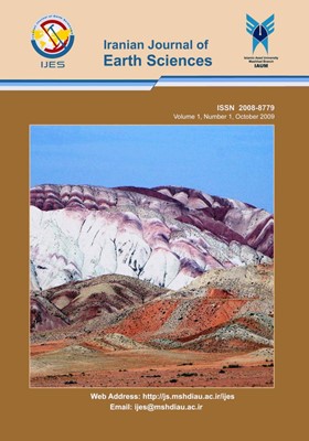
Pierced salt domes in the Persian Gulf and in the Zagros mountain ranges in southern Iran and their relationship to hydrocarbon and basement tectonics
Subject Areas : MineralogyJ. Rahnama-Rad 1 * , G. Farhoudi 2 , H. Ghorbani 3 , Sh. Habibi Mood 4 , R. Derakhshani 5
1 - Department of Geology, Islamic Azad University, Zahedan Branch, Zahedan, Iran,
2 - Islamic Azad University, Shiraz Branch, Shiraz, Iran.
3 - Lar Consultant, Tehran, Iran.
4 - Department of Geology, Islamic Azad University, Zahedan Branch, Zahedan, Iran,
5 - Department of Geology, Faculty of basic science, Shahid Bahonar University, Kerman, Iran
Keywords: Pierced, salt plugs, Zagros Fold Belt, Southeastern Iran, Kazerun fault,
Abstract :
The most enigmatic problems with the nearly 200 salt domes pierced in the Persian Gulf and in the Zagros Mountain Ranges (ZMR) in southern Iran, a unique morphology in the world, have been the matter of this study, which is based on a combination of field work, enhancement of satellite and aerial photographs etc. In the ZMR, structural anomalies are frequently associated with similar facies distribution patterns. In the eastern portion of the region, emergent salt plugs of Infra-Cambrian age exhibit the same alignment patterns. Such trends bear no apparent genetic relationship to the Tertiary folding responsible for the present Zagros fold belt, but rather indicate their affinity with linear basement features which are readily observable on Land sat imagery and aerial photographs. Bending of anticlines in the competent cover rock, combined with minor strike-slip faults and horizontal displacements of parts of folded structures, strongly point to the presence of these basement faults. The salt plugs, which have pierced cover rocks of up to 10000 m thick, are distributed on the Arabian Platform along regional basement faults. The area of diapir outcrops is bounded by the Oman Line to the east and by the Kazerun fault to the west. Pieces of the basement have been brought up to the surface on some of the salt domes. The fragments were transported by rotational ascent of the Hormuz Salt Formation to the present and former land surfaces. The recognition of features related to basement tectonics and realization of their implication in the control and modification of geological processes are important adjuncts to the search for hydrocarbon accumulations in this region. To our best knowledge, data of basement faults in the study area are scarce. Therefore, this study was carried out to determine basement faults and their relation to salt dome distribution. Considering the fold axes bending, the trend of the salt plugs and also the distribution of epicenters of the last century, numerous new basement faults are introduced in this paper.

